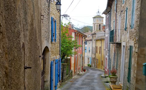
ACTIVITIES AND ATTRACTIONS
Churches and chapels
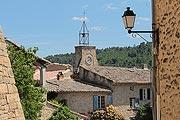
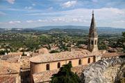
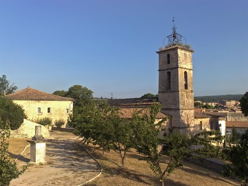
The parish church of Saint-Michel was built in the 18th century, but has two southern side-aisles from an earlier period (15th century) 118. Jean-Christophe Labadie believes the church dates back to before 17th century and estimates the extension work to have taken place in the 17th and 18th centuries 119. It boasts a multi-coloured and gilded wooden statue of Saint Michel terrassant le dragon (Saint Michael slaying the dragon) measuring 130 cm in height and featuring Saint Michael dressed as a Roman centurion120. The bell tower houses an iron Provençal bell.
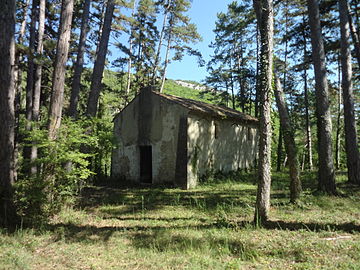
The Chapel of Saint-Georges (St. George) is located in a pine forest close to Calavon, one kilometre west of Céreste31. The chapel was vandalised by looters in 2014. Studies carried out by the DRAC (the Auvergne-Rhone-Alpes regional cultural organisation) also date this chapel to an earlier period.
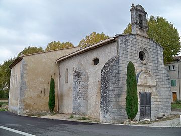
The chapel of Notre-Dame-de-Pitié (Our Lady of Sorrows) was built in the 15th century but has a Roman chapel at its centre.
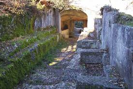
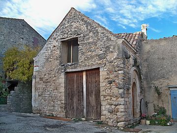
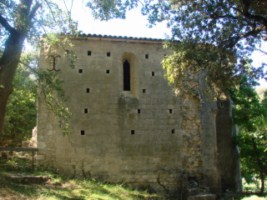
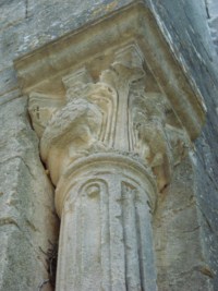
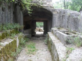
The Carluc Priory, originally a dependency of the Montmajour Abbey, lies three kilometres away from the village. Part of the priory’s chapel is listed as a monument historique (historic monument). The priory is next to a medieval necropolis, part of which lies underground, carved into the rock and linked to the chapel by a tunnel.
Geography
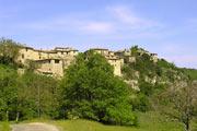
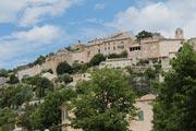
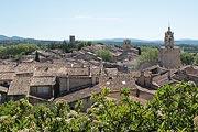
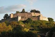
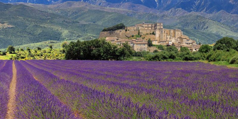
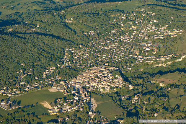
Céreste is sheltered from the mistral, protected by the Vaucluse mountains to the north and by the Luberon massif to the south. It sits on the border between Basse (Lower) and Haute (Upper) Provence and lies on the ancient Roman road, the Via Domitia, at an altitude of 370 metres. The Roman road is located to the west between the village’s rocky plateau and the river that flows down the valley towards Apt.
To the east, the same much-travelled road crosses the high plateaus so well-loved by French writer Jean Giono. The plateaus and hillside villages, with their splendid views of the Ubaye valley and nearby Italy, are swept by the Lure mountain’s winds.
To the south, breath-taking roads snake across to the other side of the Luberon, where the vegetation is already Mediterranean.
Céreste has been the gateway and threshold to Haute Provence since ancient times.


Carluc Priory
The priory is just off the ancient Roman road, the Via Dimitia, which was known as the via publica and later the camin roumieu (Roman Way) in the Middle Ages. It was a major stopping point on the route from Spain to Italy via Provence. As a religious site, it attracted a great many pilgrims and travellers thanks to its founder’s pious reputation.
It was undoubtedly already an ancient place of worship in medieval times. The priory was built next to a small cliff riddled with tunnels, cave dwellings and anthropomorphic tombs, with a sacred ancient spring at its foot. Water can still be found there today, bubbling up under a covered portico and flowing into a small trout stream.
Céreste’s bridges
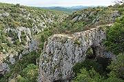
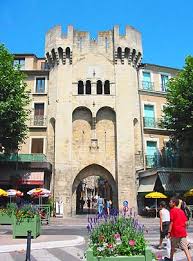
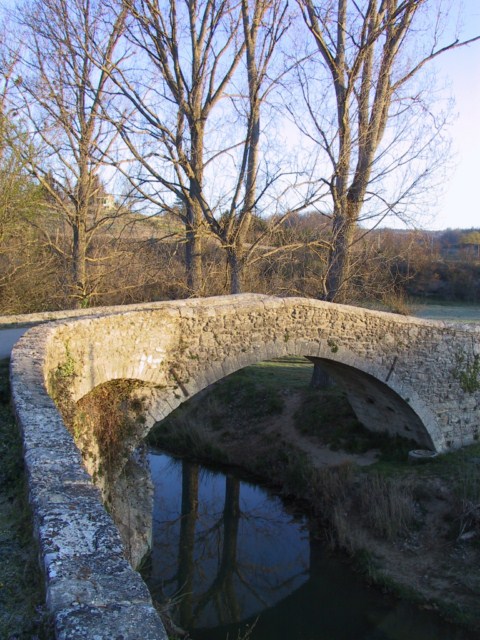
The Roman bridge to the east of the village was built to extend the Via Domitia across the Aiguebelle (a tributary of the Encrême, itself a tributary of the Calavon). It was levelled at the end of the 19th century during work on the RN 100 highway. It stands 6.5 metres wide and 36 metres long, with two 6-metre arches. It has two unique features: the foundations, made from large blocks of stone, are one of the rare remaining examples of Roman strip foundations (148 sq. m.); it is also a rare example of an ancient two-arch bridge (an even number of arches is similarly unusual). It was built at the end of the 1st century B.C. and only the central stack and the access ramps with their clad walls remain.
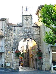
The supposedly “Roman” Baou bridge over the Encrême, is on the Carluc and Reillanne road. The bridge deck is 19 metres long, 3.95 metres wide and supported by a semi-circular arch with a 10.5-metre span, rising to 4.5 metres at its highest point. The road is 3.15 metres wide. In reality, this “Roman” bridge was built in 1740 (according to the archives) but listed as a historical monument and Roman bridge in 1862. It was built over the ancient Encrême ford and is close to the Priory of Saint-Vincent-du-Pont
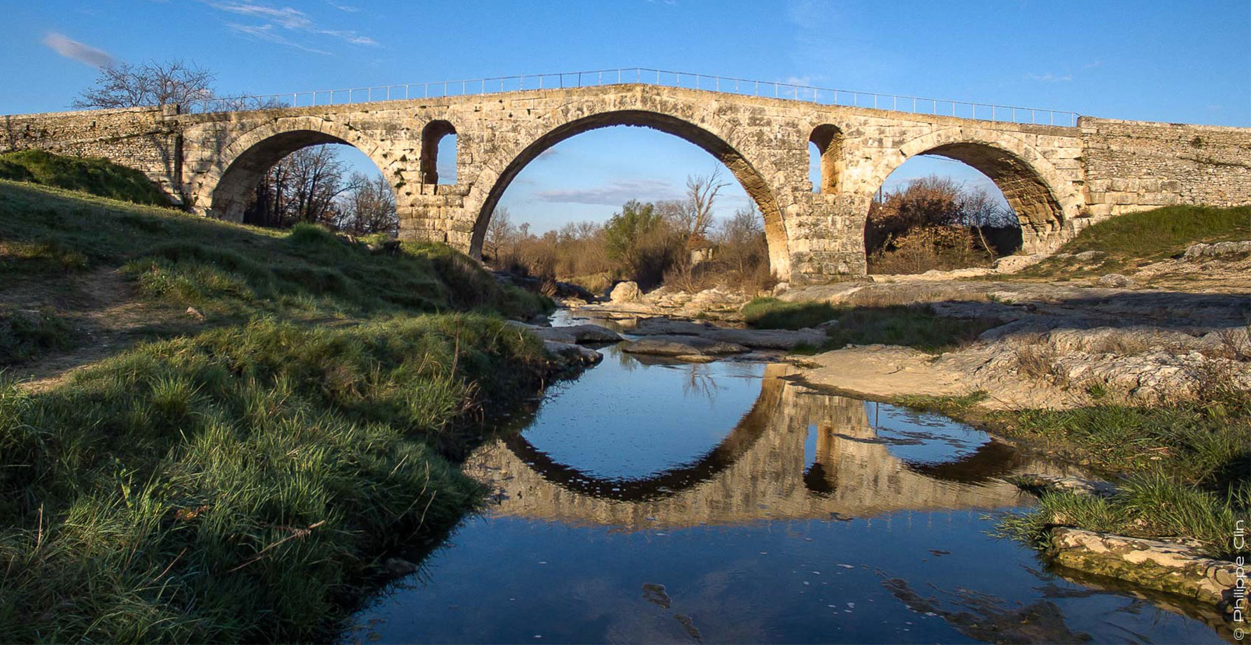
The 18th century Calavon bridge: 60 metres long and originally 5.1 metres large, is supported by three symmetrical semi-circular arches, each spanning 12.45 metres. It has triangular cutwaters or starlings with prismatic coping that face both up- and down-stream. The load-bearing buttresses, which were set aside during stone-cutting to support the remaining arch, are still visible today. The bridge deck overhangs as a result of 20th century enlargements.
Fauna on the north-facing slope of the Luberon
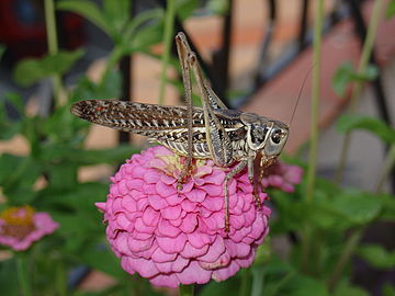
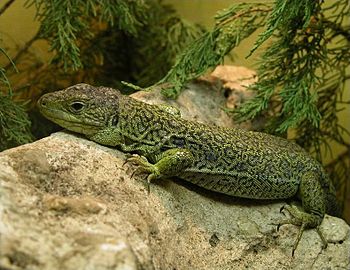
The piedmont plateau is home to insects such as grasshoppers, praying mantises, and cicadas; to arthropods, such as the highly venomous centipede (Scolopendra cingulata), and equally poisonous common yellow scorpion; and reptiles, such as the asp viper, which is also poisonous but thankfully makes a warning noise, the ladder snake, the Montepellier snake, skinks (lizards), and the ocellated lizard, the largest lizard in Europe, which can grow up to 90 centimetres in length.
Many birds are found on the northern slopes including common blackbirds, robins, troglodytes (known locally as la pétouse or lou petouso in Provençal), common chaffinches, Eurasian jays, blue tits, long-tailed tits, Eurasian warblers and Eurasian sparrow hawks, which prey on all of the others.
In addition to species typical of the northern slopes, a number of other birds that have colonised the southern slopes can also be found. They include diurnal birds of prey, such as the short-toed eagle (the largest bird of prey in the Luberon), the Egyptian vulture, the falcon and the buzzard (all endangered), as well as nocturnal birds such as the Eurasian eagle owl, the long-eared owl, the Scops owl and the tawny owl.
Mammals can often be found, such as boars, badgers (endangered), red foxes, squirrels, and rodents, and the smallest mammal in the world, the Etruscan shrew.

Geology
Céreste is known for its limestone rocks. They were formed underwater several millennia ago and exposed when water levels fell, leaving several strata of sediment on which the village was founded.
While exploring the area, you will see limestone in all its various forms (the white limestone crags of the great Luberon, strata etc.). This is what gives the region its unique geography.
By bike
Luberon is heaven for cyclists!
Around Céreste, there are gentle rides, tours, and mountain treks to lead cyclists through the intact landscapes and dramatic hilltop villages of the Luberon Natural Park, offering something for everyone and covering all levels, from beginners to experienced athletes.
The Tour du Luberon cycling route is a relatively flat, 236-kilometre circuit mostly along cycle paths or protected bike lanes. We can provide guests with bicycles, itineraries, maps and ideas for stopping points, for example:
Around Céreste